August  2006  ARL
January  2007  Quarry
February  2007  la Pilita
March  2007  la Pilita
May  2007  Zacatón
Field Notes
 
Tuesday, May 15 - Monday, May 28, 2007
Cenote Zacatón, Rancho la Azufrosa, Tamaulipas, Mexico
This was the final trip for the project and the culmination of our endeavour. We explored Zacatón, the deepest flooded sinkhole in the world, and made the first complete map. We also made brief dives into Verde and Caracol, thus mapping the entire system.
Tuesday, May 15th was our first day at Zacatón. We quickly familiarized ourselves with the barge and lowered the vehicle into the cenote. After a checkout period we manually dove to 281m (stopping periodically to check all the sensors) and found a sloping floor around 300m. Unfortunately one of the sensors started to report wildly noisy values and we had to ascend.
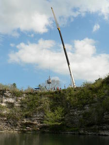
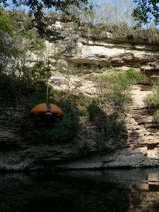
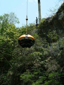
We put the vehicle back in the water on the 16th and did a checkout of the payload and autonomy software. 
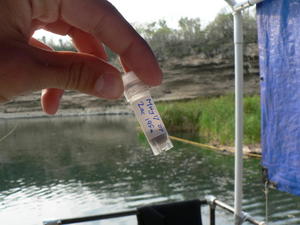
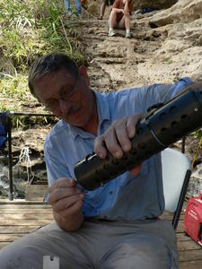
With this additional functionality in place, we again dove deep and collected water samples along the way. 
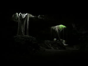
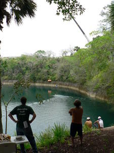
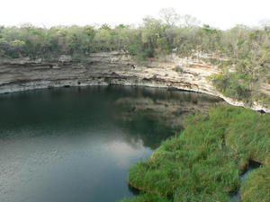
This time we reached 290m and pushed under an overhang into the deepest section. 
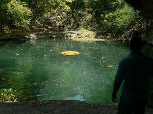
The sonar data collected on this dive allowed us to create our initial map, leaving only a small segment of the very bottom unknown. 
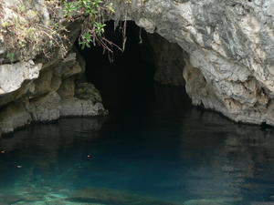
The sinkhole appears to be a deep shaft with a sloping floor around 300m. According to our environmental sensors, the water column is quite uniform throughout.
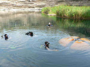
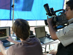
The morning of the 17th was spent giving interviews to the press and shooting underwater video. Many reporters were present including crews from local stations, NASA and various magazines. 
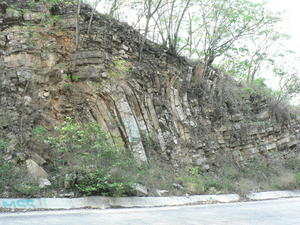
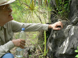
By noon the fervor died down and we returned to our scientific investigation by starting a systematic study of the cenote walls.
After lunch we returned to the water and made a big push for science samples, collecting 5 water samples and 3 core samples (114m, 198m and 272m). The batteries for the lights died after 2 missions, so the final dive (200m) was autonomous, relying only on sonars. As we continue to analyze the samples from this mission, we expect they will provide a wealth of information about the environment within the cenote.
There were no operations between the 18th and the evening of the 25th due to unforseen circumstances. 
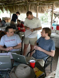
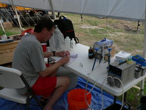
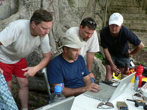
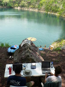
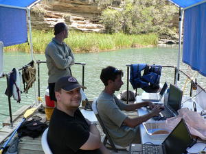
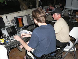
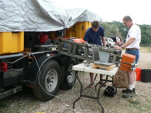
We spent the down-time doing vehicle maintenance, analyzing telemetry, archiving data and generally catching up on work.
As the week wore on we spent more of our time exploring the area and learning about the region. We encountered incredible geologic formations, fossilized mammoth bones and beatiful wildlife.
By the end of the week we had exhausted our "to do" lists and seen much of the local environment. We then spent most of our time relaxing on the ranch; playing music, reading and hanging out.
The evening of Friday, May25th we redeployed into Zacatón. We ran three times in 36 hours, stopping only to charge batteries (and ourselves). During this whirlwind of activity we probed deeper than ever and collected several samples completely untethered. Operating the vehicle untethered represents the definitive test of the robot's capability to collect scientific and handle unexpected conditions without human guidance or monitoring.
On the 27th we deployed in Verde. We autonomously explored this large, shallow cenote using a randomized wandering planner. Throughout the day we collected environmental data confirming major chemical changes below 10m.
On the 28th we had a short deployment in Caracol. The small opening quickly opens into an 80m deep oval void strongly resembling La Pilita, which we explored thoroughly in February and March. The mapping sensors worked very well in this environment and we successfully ran an untethered mission using our simultaneous localization and mapping (SLAM) system.
On the afternoon of the 28th we packed and cleaned. Cleaning up proved to be a lot of fun; we had to release the floating zacaté and find a new home for some puppies. Around sunset we left Rancho Azufrosa, concluding the DepthX field operations.